Timber Groeneveld
Preparation
Air temperature estimation through thermal satellite imagery
Supervised by Azarakhsh Rafiee
Everyone currently graduating, ordered by process step. The tags show where each student is in the graduation process: Preparation → Kick-off → Midterm → Green-light → finalisation. Looking for finished theses? Browse the thesis archive.
Timber Groeneveld
Preparation
Air temperature estimation through thermal satellite imagery
Supervised by Azarakhsh Rafiee
Phuong Anh Ho
Preparation
Urban Heat Island Modelling Using Deep Learning and Satellite Thermal Imagery
Supervised by Azarakhsh Rafiee; Joris Timmermans
Stepan Prikazchikov
Preparation
Thesis topic to be announced
Danny Marx
Kick-off
Applying Implicit Neural Representations to Landsat Thermal Infrared Imagery for Super-Resolution
Supervised by Azarakhsh Rafiee; Roderik Lindenbergh; Massimo Menenti
Faried Nurmohamed
Kick-off
Improving public spaces through urban comfort metrics (thermal and social quality)
Supervised by Daniele Cannatella; Claudiu Forgaci
Kelly Schoonderwoerd
Kick-off
Japan’s PLATEAU: from CityGML to CityJSON
Supervised by Hugo Ledoux; Hidemichi Baba
Mark van der Meer
Kick-off
CityGit
Supervised by Hugo Ledoux; Hidemichi Baba
Juan Garcia Mezo
Midterm
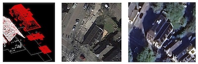
Semantic Interpretation of Change Detection at the Building Element Level
Supervised by Ken Arroyo Ohori; Gina Stavropoulou
This thesis proposal investigates semantic change detection in urban point clouds at the level of building elements, i.e. meaningful geometric components such as roof planes and roof installations. Binary change detection methods (e.g. C2C, M3C2) capture geometric differences between point clouds, but are sensitive to noise, varying point densities, and occlusions, and say little about what actually changed; existing semantic and object-based approaches describe changes only generically (e.g. new, demolished, taller, lower). The research bridges point-level and building-instance change detection by detecting and classifying changes at the element level and propagating this semantics to building instances, while accounting for the challenges of large-scale, multimodal point clouds.
Segher ter Braak
Green-light
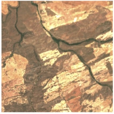
Downscaling ECOSTRESS Land Surface Temperature using Deep Learning
Supervised by Azarakhsh Rafiee; Roderik Lindenbergh
This thesis proposes a physics-guided deep learning framework to downscale ECOSTRESS land surface temperature (LST) data from ~70 m to 10 m resolution in heterogeneous Dutch landscapes. It integrates Sentinel‑2 imagery, land cover, and topography into a Swin Transformer‑based U‑Net architecture. The approach uses weakly supervised learning with physics‑informed loss functions—such as aggregation consistency and edge‑aware smoothness—to ensure physical plausibility and coherence across scales. The goal is to produce high‑resolution, physically consistent LST estimates suitable for detailed urban and agricultural analyses, addressing the limitations of traditional downscaling methods in complex environments.
Josephine Winterdal
Green-light
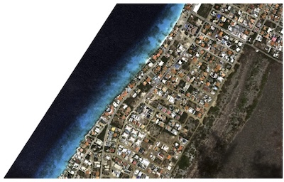
Assessing Coastal Change and Vulnerability Using Remote Sensing: A Comparative Study of Aruba and Bonaire
Supervised by Azarakhsh Rafiee; Roderik Lindenbergh
This thesis proposal assesses coastal change and vulnerability along the coastlines of Aruba and Bonaire using multi-source satellite data. Coastlines are segmented and classified by coastal type, after which per-segment indicators are extracted — shoreline position from optical imagery (NDWI/MNDWI), vegetation buffers from NDVI, built-up intensity from Sentinel-1 SAR backscatter, and external exposure from coastline orientation, wave fetch and reef presence. Linking these indicators reveals how external exposure and development pressures shape coastal change, and a composite index produces relative vulnerability maps. Comparing PlanetScope (Aruba) and NSO (Bonaire) imagery additionally shows how data quality and island characteristics affect the results.
Last updated: 01 October 2026.