Andra Irina Gheorghiu
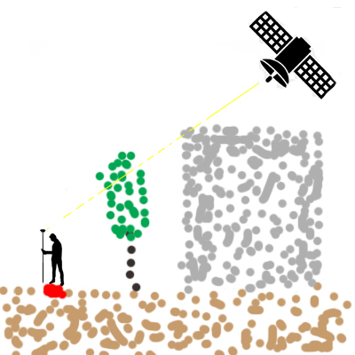
Global Navigation Satellite Systems is a spatial data acquisition technique, mostly used in fields such as land surveying. One of the main components of this techniques is the satellite visibility, which refers to the connection between the satellite and the ground receiver. It is well known that the results GNSS positioning systems are often unreliable in urban areas due to the dense coverage of obstacles. Such obstacles can include buildings, trees, topographic details etc. These obstacles can obstruct and reflect the signals coming from the satellites to the ground receivers, such as smartphones, which affect the quality of the performance of the GNSS service.
The results of the analysis of the behavior of these signals in the urban environment can help simple users of GNSS positioning systems understand why and in which areas of the cities the satellite signals are the weakest or non-existent at all. This research can also be used in the future to point out the weak aspects of the satellite constellations and then improve them.
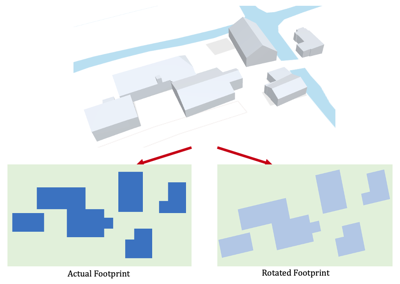
This research will be focused on implementing a strategy, similar to that of ray tracing or shadow matching, to analyze the obstruction of the lines of sight from satellites, using different locations in the point cloud sample. For this study, the ANH4 set of point clouds will be used. The GNSS study part will consist of the constellation of satellites, taking into consideration details such as the study of their orbits, and a ground receiver.
Supervisors: Edward Verbree and Martijn Meijers