Androniki Pavlidou
Integrated modeling of utility networks in the urban environment
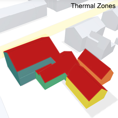
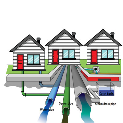
In the last decades, 3D GIS has been extensively being explored for vast urban-related applications. Specifically, the needs of the modern smart cities, for analysis and simulation of their urban environment, make the existence of precise and comprehensive knowledge about their 3D space necessary. However, this information is limited, mainly, to above-ground applications while the existing underground assets lack detailed information and mapping. Additionally, generally underground information available is provided only in 2D and, usually, that data are incomplete or imprecise, as - for example - there is no direct connection between above- and below-ground infrastructures. Taking into account the immediate dependencies of the above-ground applications with the underground utility networks it is crucial to have a more accurate and integrated representation of supply networks. Having this goal as a starting point, the main research questions addressed by this thesis will be:
"How is it possible to model utility networks in 3D, integrated with the above-ground objects, such that they can be suitable for multiple uses?",
"How to represent a direct connection with the above-ground condition?”.
The thesis will focus on creating a 3D geo-referenced map of a subset of existing utility networks (e.g. sewage) in an area of the TU campus, observing their current condition, and proposing a strategy to harmonize and integrate the existing information.
Supervisors: Giorgio Agugiaro and Jantien Stoter