Denis Giannelli
Performing solar analysis in buildings of favelas in Sao Paulo to estimate PV potential
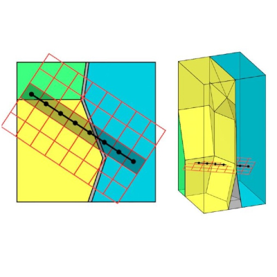
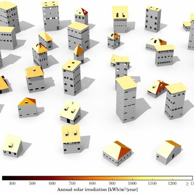
In the Global South, large urban spaces resulted in the duality ‘formal’ and ‘informal’ cities. It’s the case of Sao Paulo, a 22M ppl. metropolis and a financial hub in Latin America. Albeit a vast literature addresses the social-spatial segregation emerging from this dual built environment, the scarcity of spatial datasets regarding informal settlements also enforces a geo-information segregation, resulting in a terra incognita. This is exemplar in favelas, defined as precarious, spontaneous and unorganised land occupation built on third-party property, most of which lack cadastral data. As favelas are often not mapped, assessing urban phenomena becomes a technical challenge for several application domains, e.g. the energy one. Recent public initiatives in Brazil estimate solar irradiation and photovoltaic potential for buildings at city scale, but favelas are intentionally excluded from the resulting web-based solar maps. Technicians believe that the absence of a spatial pattern in favelas calls for investigation on how to refine a roof mapping methodology. The research questions thus become 1) How far is it possible to perform solar analysis in buildings of favelas in Sao Paulo with the goal of estimating PV potential? 2) What are the min. required geodata to map buildings (roofs) in a favela, and can a specific methodology be set up? 3) What are the requirements, level of applicability and type of results (e.g. accuracy) delivered by different existing irradiation models?
Supervisors: Giorgio Agugiaro and Camilo Alexander León Sánchez